3D Models & Photogrammetry
High-resolution orthomosaics, point clouds and textured 3D models with survey-grade accuracy, ready for CAD and GIS workflows.
Drone Inspections & Photogrammetry
Aerial intelligence for critical infrastructure.
We turn drone flights into engineering-grade data — precise 3D models, inspection reports and progress documentation for construction, energy and industrial teams.
Who we are
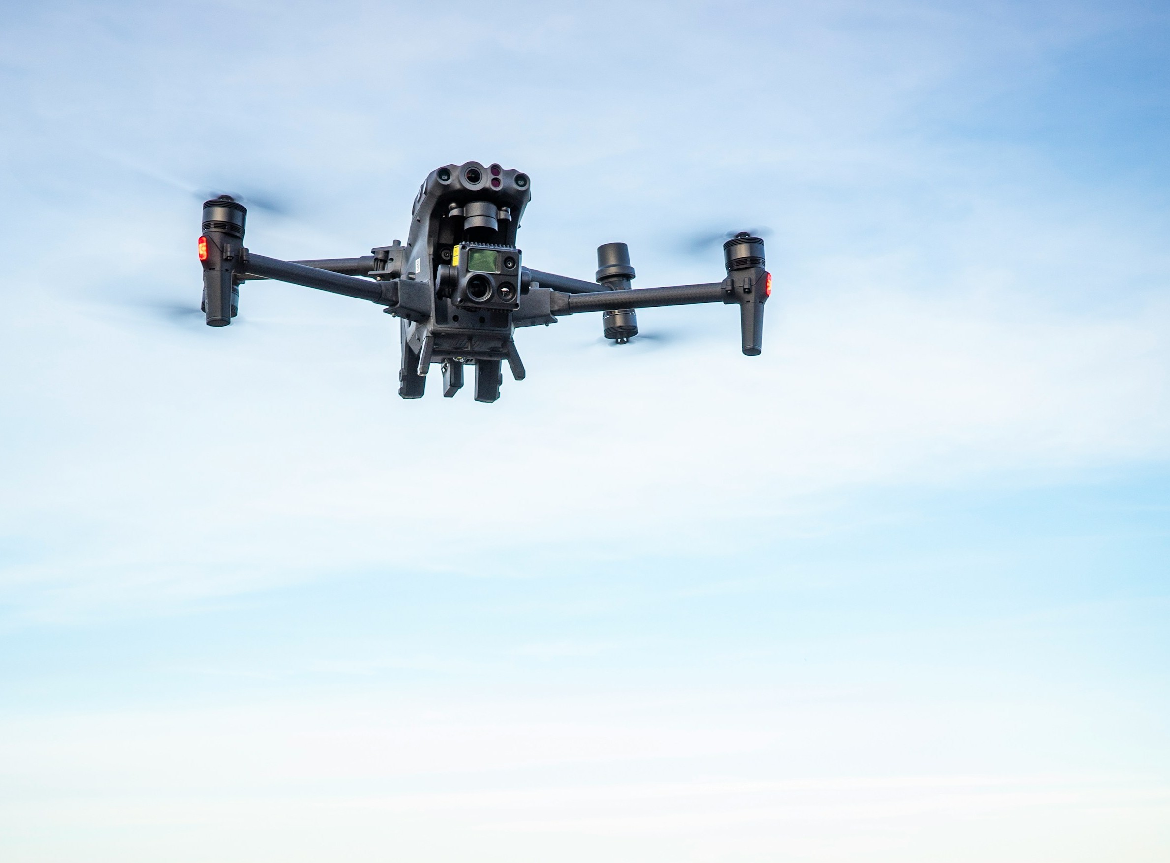
SkyMetric delivers certified drone inspection and photogrammetry services for companies that can't afford guesswork. From roof condition surveys to centimetre-accurate 3D terrain models, we capture the data your engineers, project managers and insurers actually need.
Our pilots fly fully licensed missions with RTK-enabled aircraft and calibrated sensors, following strict safety protocols on every site. Deliverables arrive as structured reports, annotated imagery, point clouds and CAD-ready models — not just pretty pictures.
Based in Romania and operating nationwide, we support construction, energy, telecom, solar and real-estate clients with fast turnaround and transparent pricing.
What we do
Nine specialised aerial services, one reliable partner.
High-resolution orthomosaics, point clouds and textured 3D models with survey-grade accuracy, ready for CAD and GIS workflows.
Detailed condition surveys of tiles, membranes, flashing and drainage — no scaffolding, no ladders, no risk.
Aerial assessment of slopes, erosion, vegetation and access routes before you commit machines and crews to a site.
Visual checks of antennas, insulators, mounts and cabling at full height — without climbing crews or downtime.
Scheduled flights that document every build phase. Our Progress Comparison Packages overlay flights over time so stakeholders see exactly what changed.
Rapid visual sweeps of PV arrays to spot soiling, cracking, hot-spot indicators and mounting issues across entire farms.
Close-range imaging of facades, cladding, joints and balconies to detect cracks, water ingress and detachment early.
Documented aerial reports on parcel boundaries, surface condition and land use — ideal for due diligence and disputes.
Photogrammetric volume calculations for aggregates, earthworks and inventory — accurate numbers in days, not weeks.
Our work
A selection of recent flights. Real project images to be provided by client.


Get in touch
Tell us about your site and we'll come back within one business day.